If you have mums or sensitive plants, you may want to cover them or bring them in tonight.
If you have mums or sensitive plants, you may want to cover them or bring them in tonight.

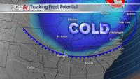
Sunday morning will be the COLDEST morning with the first freeze of season possible.

(WSIL) -- The cold front is moving through and the much cooler, less humid air is arriving.

The area of low pressure that has brought daily chances for scattered showers and storms will likely bring a few more hit and miss storms this afternoon.

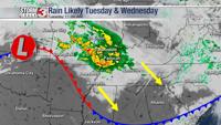
A wave of showers and a few rumbles of thunder will track in from the northwest on Tuesday.

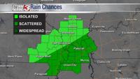
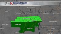
Rain chances will be focused primarily in the south part of our viewing area Friday and Saturday.

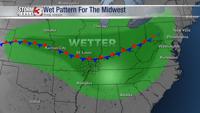
A front that will be stalled over the region much of the week will bring some relief from the heat along with increased rain chances.

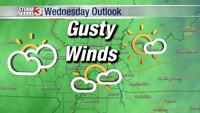
Strong and gusty south winds will lift temperatures but still provide a chill on Wednesday. Winds will increase as a cold front approaches.

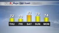
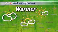
Wednesday will be the last warm dry November day before rain and cold returns. The cold front will arrive Thursday with widespread rain showe…

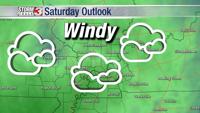
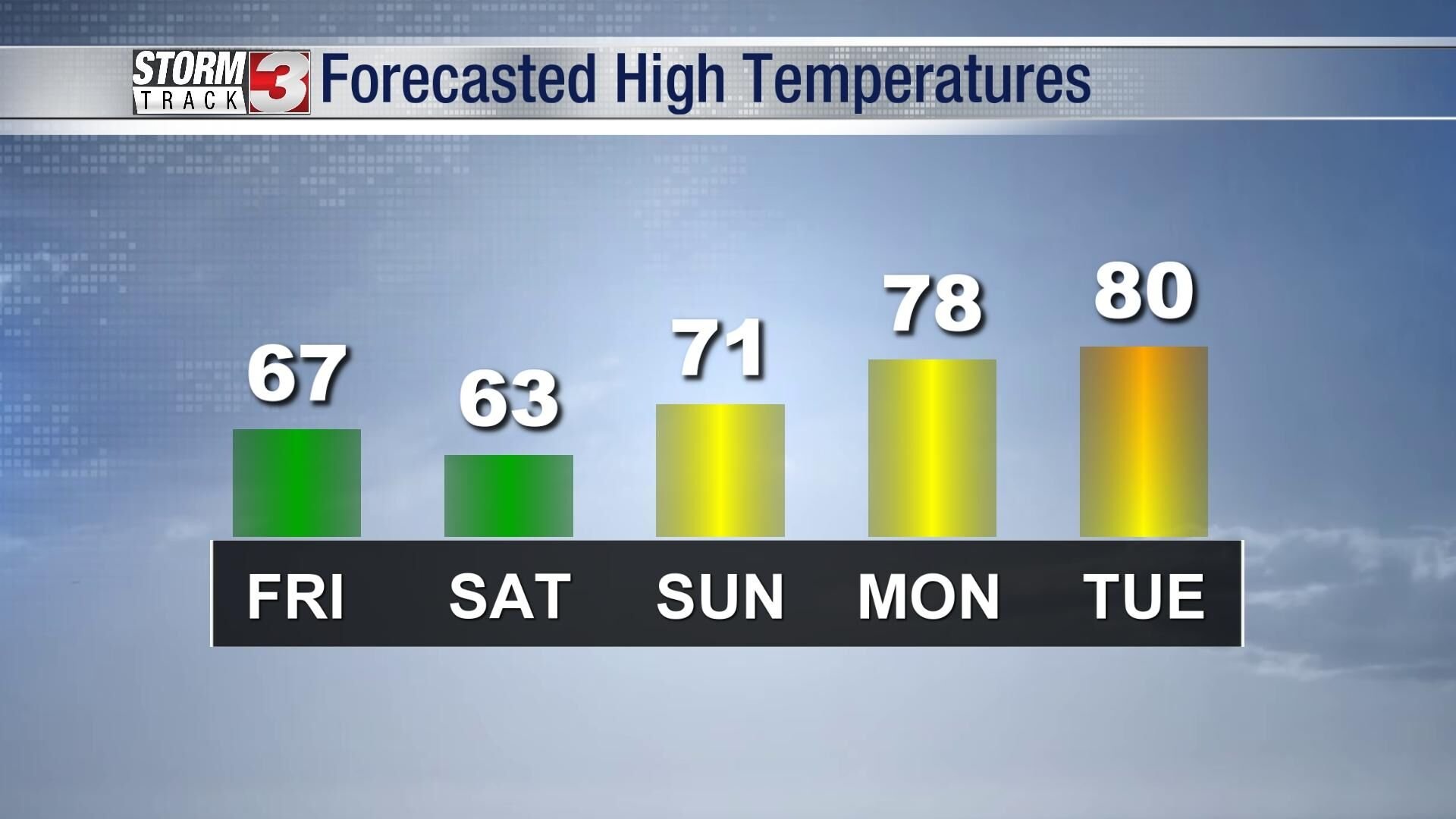
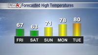
Improvement in the weather will be slow this weekend. Skies should be much drier Saturday even as clouds hang on. We should see some sun Sunday even if just breaking through some clouds.