

CARTERVILLE Ill. (WSIL) -- It was a warm Thursday afternoon. High temperatures climbed back into the mid to upper 80s. This is well above average.
Rain has worked its way back into the region ahead of a cold front. Widespread showers and storms are likely overnight and into Friday. No severe weather is expected. The main threats will be pockets of heavy rain and lightning.
Scattered storms will stick around through the eastern portions of the viewing area into Friday morning. An isolated shower can't be ruled out through the afternoon either, but chances will be much lower.
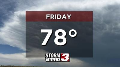
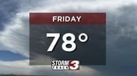
Behind the front winds will shift out of the northeast, and temperatures will dip slightly. Highs will top out in the upper 70s, still above average.
Overall, the forecast brings more of the same through the weekend and next week. Above average temperatures accompanied by off and on rain chances.