


CARTERVILLE (WSIL) �� A cold front moved through Wednesday night and it has brought relief from the heat and humidity.
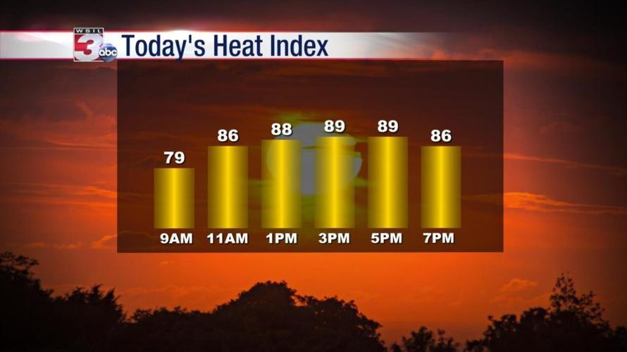
While the temperatures will also be a little cooler Thursday afternoon, the most notable difference will be the humidity. Dewpoints have dropped back into the lower 70s which will bring the heat index down closer to the actual temperatures.
High pressure building in from the north will keep us high and dry for a few days with relatively low humidity by mid-July standards. By Saturday, as high pressure moves east and winds turn back out of the south, temperatures jump back closer to the seasonal normals which are near 90º.
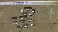
All eyes will be on the tropics through the end of the week as our next potential rain maker. What is forecasted to become tropical storm Barry Thursday evening will make a turn northward and could potentially bring heavy rain to our region Monday and Tuesday.
Meteorologist Nick Hausen has the latest forecast on News 3 This Morning.