


WSIL (Carterville) -- It's been an active day so far with a few Severe Thunderstorm Warnings and a few Tornado Warnings. The first wave of activity is beginning to exit the region out of the southeast, leaving some damage behind. Rain showers and picking up off to our west, and pushing into Southeastern Missouri. This second round seems to be weaker.
Our temperatures, especially in areas that saw that first wave of storms, have dramatically cooled off.

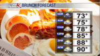
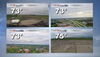
Over the next couple of hours temperatures will remain in the upper 70s, low 80s. Heavy cloud cover will also be here through the overnight hours as these rounds of rain and storms advance East.

A new wave of strong storms will form between 10 PM and midnight and are likely to be severe. Large hail, strong winds and a brief tornado are all possible overnight so it's important you have a way to receive alerts that can wake you.
Widespread 1-3" of rainfall is possible across parts of southern Illinois with localized totals topping 4-5" possible. Flooding will be a concern through tomorrow morning, but storms will begin to end through the morning with most of the storms wrapping up by lunch time.

Rain chances continue to stay with us through the end of the work week but the weekend is trending much quieter and sunny!