


WSIL -- Dew points are a little lower this morning, so you may notice that it's not quite as muggy as it has been recently.

This afternoon, temperatures will bounce back into the upper 80s, but with lower dew points, it should remain fairly comfortable by July standards.

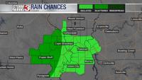
There are a few rain chances over the next few days. The first arrives this afternoon with a pop up shower or two possible across far southern Illinois during the heat of the day. Better chances will be west of the Mississippi River as a decaying storm complex works in later this evening. Highest rain chances Friday will be in the Missouri Ozarks.
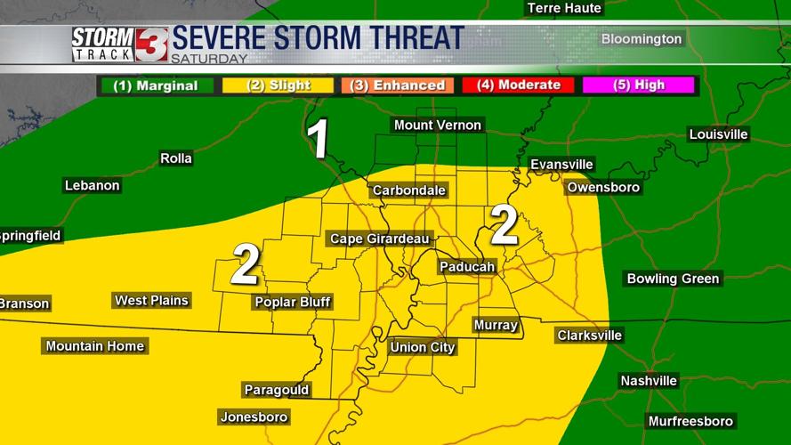
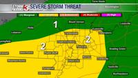
A warm front will lift northward tonight, stalling near the I-64 corridor by Saturday morning. As a disturbance moves in from the west Saturday afternoon, showers and storms are likely to develop along and south of the stalled boundary.

During the late afternoon and early evening, a few storms could be on the stronger side with hail and isolated damaging winds. The severe storm threat should fade away fairly quick once the sun begins go down.
The cold front will move southward Saturday night, likely settling into the Missouri Bootheel and northwest Tennesse, where there is a chance for a few more showers Sunday afternoon. Further north, Sunday will be a pretty nice day with temperatures in the lower 80s.