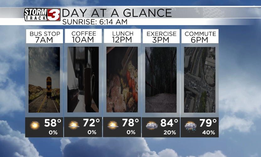


WSIL(Carterville, Ill.)-- This morning, a lot of us are waking up to temperatures in the mid to upper 50s. So temperatures are much cooler this morning when compared to yesterday.
As we go through the afternoon, we will see temperatures warm into the mid 80s once a warm front moves through the area. This warm front will provide plenty of fuel for thunderstorms to work with later.
This morning, you won't need to worry about any severe weather; we will actually see a lot of sunshine. But, by 3:00PM, we could see a few isolated thunderstorms, especially across southeastern Missouri and southwestern Illinois. These storms could turn severe, and could be capable of producing all severe weather hazards.

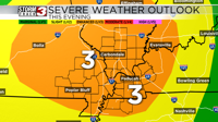
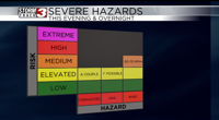
However, we are more concerned with a complex of storms that will approach from the northwest and track towards the southeast. These storms will be capable of producing all severe weather hazards., but we are most concerned with the possibility of these storms producing 60 to 70 mph damaging winds.

These storms should be moving in around 6 to 7PM and be out of here by midnight to 1AM Friday morning. For these storms, there is already a level 3 risk of severe weather
Behind the front, we will see cooler temperatures for Friday and the weekend. Temperatures could be as much as 10 degrees below average.