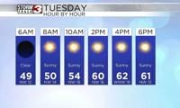

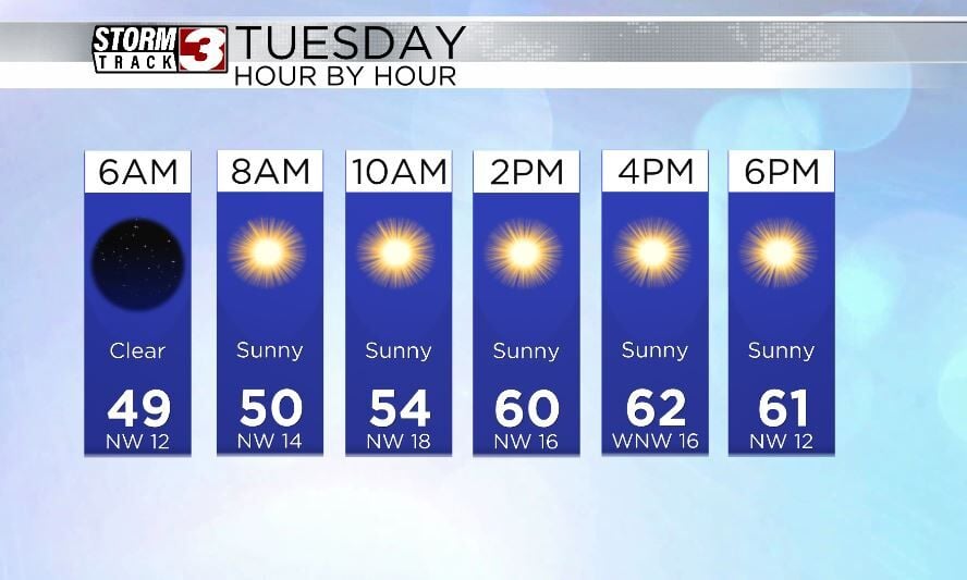
WSIL(Carterville, Ill.) -- This morning, we are tracking temperatures that are in the mid 40s across most of the area, under mostly sunny skies.
Today, we are going to see sunshine stick around for the entire day, with temperatures that will reach the mid 50s by midday, and the lower 60s for high temperatures. The mid 60s are possible further south. We also will see winds out of the northwest at 10 to 15 miles per hour. Gusts, however, will be as high as 20 to 30 miles per hour, especially through the late morning and early afternoon.
This evening, you can expect to see temperatures linger in the lower 60s through around 5 PM. Clear skies are expected through the overnight hours and this will help temperatures cool into the lower 40s for early tomorrow morning. Lots of sunshine is expected for tomorrow morning, and temperatures will be much warmer. We should see temperatures reach the mid to upper 60s for highs.
Cloud cover will increase tomorrow afternoon, and scattered storms are expected in the evening between 6PM and midnight. No severe weather is expected. An unsettled pattern is expected to take control of the region through the second half of the week, and keep rain and storm chances around every day Wednesday through Sunday.