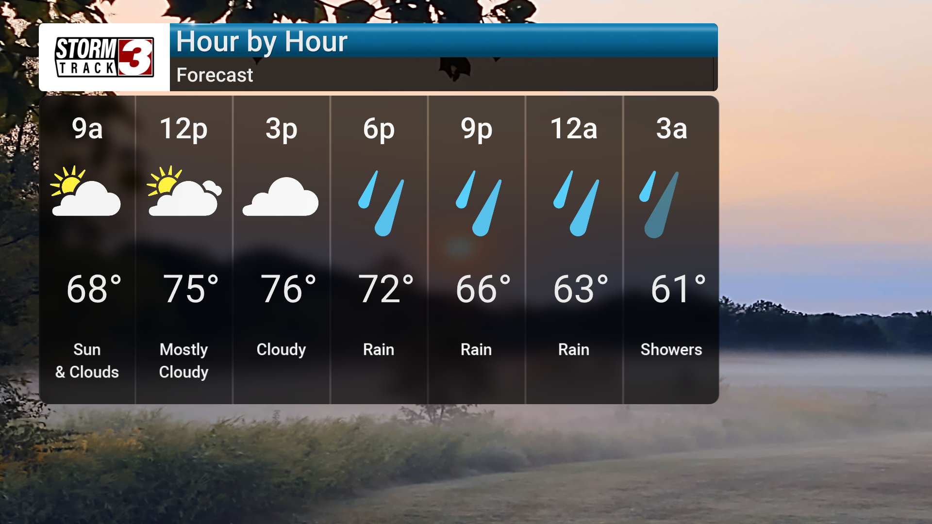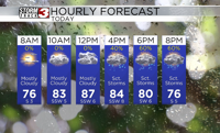

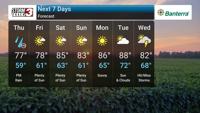
Patchy fog is possible early today, then partly cloudy skies. Clouds will increase during the afternoon with highs in the upper 70s. Winds will be light and variable. Showers are likely tonight, becoming partly cloudy Friday with a high of 76.
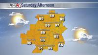
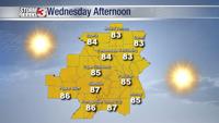
The weekend will see a warming trend with mainly sunny skies and highs in the low 80s. Temperatures will continue to climb into next week, reaching the upper 80s by Tuesday. Dry conditions are expected through Tuesday.
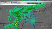
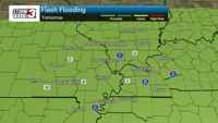
We will be monitoring the potential for strong to severe storms late Thursday afternoon and evening, primarily after 9 PM. Damaging winds and heavy downpours are the main threats, with a low-end tornado threat possible. Localized flooding could also be a concern due to torrential downpours. While most places should see around a half inch to an inch of rain, some localized areas could see up to two inches. We will be keeping a close eye on the latest forecast models and providing updates as needed. While a few showers and storms may linger into Friday, mainly east, the weekend is looking drier and warmer.