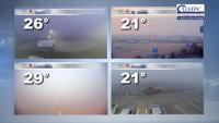

CARTERVILLE Ill. (WSIL) -- The little snow that fell Tuesday morning has already melted. Warm road temperatures helped prevent any impacts. Light cold rain is slowly moving out of the area this evening. The break from the rain will be very brief.
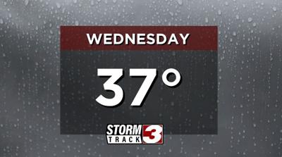
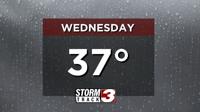
Another system will begin to move back in on Wednesday. Cold rain will move in from the southwest during the morning hours, becoming widespread near lunch time. Rain will slowly wrap up by the evening. Forecasted rainfall totals are light, ranging between 0.25"-0.50".
We can't completely rule out some sleet or freezing rain mixing in for our far northwestern areas. However, that chance is small and no impacts are expected. The better chance for winter weather stays out of our region.

Temperatures will remain below average Thursday afternoon. Lows will dip into the low 30s, followed by highs in the upper 30s. The cooler temperatures will stick around through the rest of the week, but with a break from the rain both Thursday and Friday.
More active weather returns by the weekend.