


WSIL -- A little to start the morning with temperatures in the upper 40s and lower 50s.
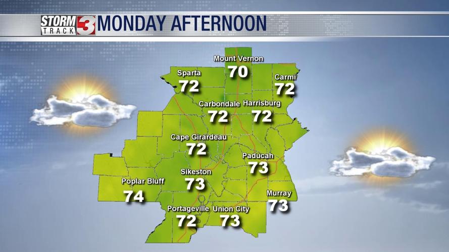
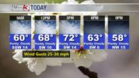
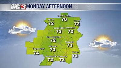
Warm and breezy Monday afternoon. It will be the warmest day of the week with temperatures peaking in the lower 70s.

A cold front arrives this evening, turning winds back to the north. North winds will usher in cooler air by Tuesday morning. The remainder of the week will see high temperatures dropping back into the upper 40s and lower 50s.
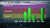
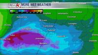
Tuesday will be a dry day, but rain chances will be going up late Tuesday night and into Wednesday morning. Right now, it appears the heaviest rain will fall across southeast Missouri and western Kentucky.

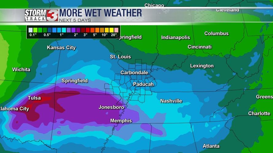
A stronger storm system will develop in the Plains and track into the Midwest Thursday night. This will bring the best chance for rain this week.

Rainfall amounts will range from more than one inch near the Missouri/Arkansas state line to less than 0.5" along the I-64 corridor in southern Illinois.
No snow is expected at this time.