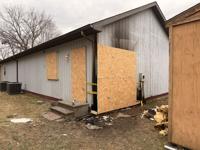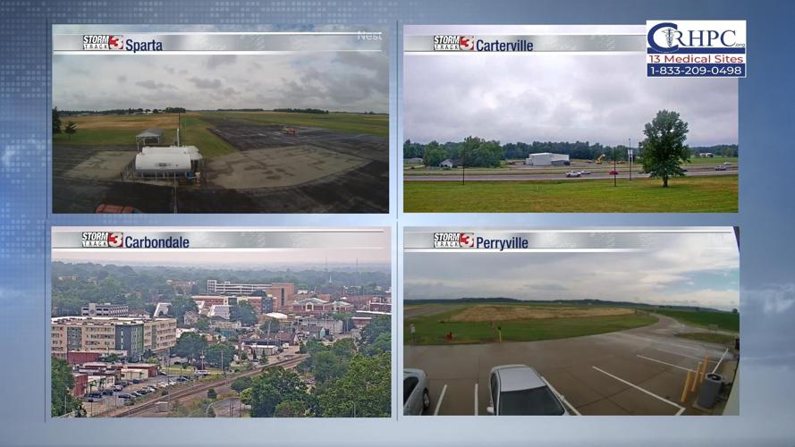


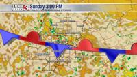


Carterville (WSIL) -- It's been an active afternoon for many of us as thunderstorms have moved across the region, brining some heavy downpours, lightning and gusty conditions.
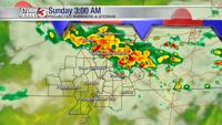
A flood advisory has been issued through 4:30 PM this evening for a few southern Illinois counties; Jackson, Johnson, Pope, Saline, Union and Williamson.

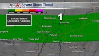
Although we saw the peak of these storms this afternoon, the potential for localized severe weather is still possible tonight, although low. The Storm Prediction Center has us blanketed under a Marginal Risk (1 out of 5) because of that risk.

Even with storms, we still got pretty warm today, climbing into the upper 80s, lower 90s. Into tonight, there's still a threat for some potential thunderstorms. Temperatures will dip into the upper 60s, lower 70s.

The chance for showers and storms remains through the holiday weekend. While it's not worth cancelling plans over yet, it's important to remain weather aware tomorrow as the front continues to move through, bringing risk of storms.
On Independence Day, the chance for isolated showers continue but dry conditions are favorable later in the day for any fireworks.