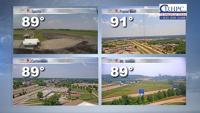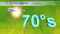

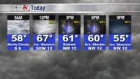


WSIL -- Quiet and cool this morning with temperatures in the upper 40s. Not as much sunshine to start the day as we had around yesterday morning.
Clouds are increasing as a cold front is tracking across central Missouri and draped back into southern Kansas.
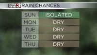
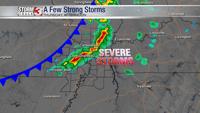
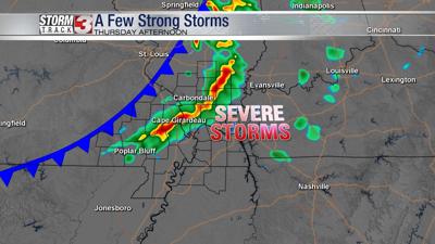
This cold front will be the focus for showers and storms developing this afternoon.

If you need to get grass mowed or want to go for a walk or jog outside, you'll want to get it done this morning to beat the rain this afternoon.

Storms will develop just northwest of our viewing area between 11 a.m. and 12 p.m. and then begin to shift south and east through the early afternoon.

While storms will NOT be as strong as they were earlier this week, a few storms this afternoon could produce dime to nickel-sized hail and winds approaching 60 miles per hour. This will likely trigger a few severe thunderstorm warnings between 2 p.m. and 8 p.m.

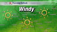
The threat for storms wanes quickly after sunset with sunshine and dry weather returning Friday.
Another system will move from the Plains into the mid-Mississippi Valley this weekend and spread MORE wet weather back into the region, especially on Mother's Day.