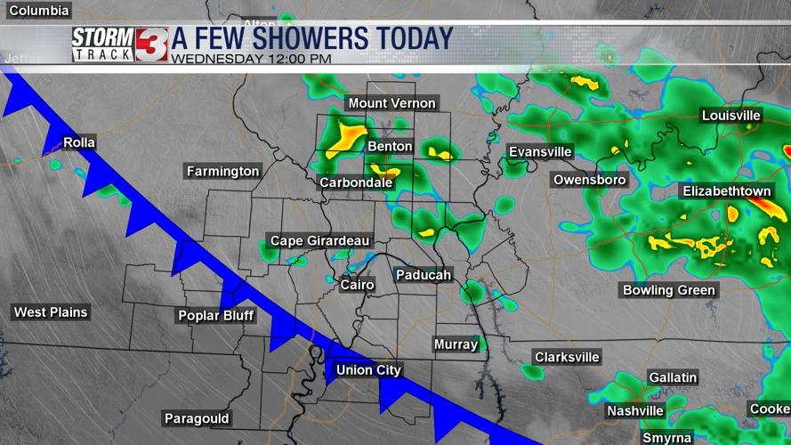
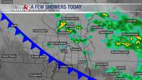


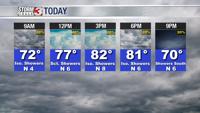


WSIL -- A backdoor cold front is tracking into the region this morning and will bring a few light rain showers. Not everyone will see rain Wednesday, but hit & miss showers will be possible throughout much of the day with a gradual shift to the south through the afternoon.

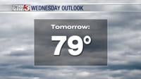
The clouds and rain will likely keep temperatures lower today with highs in the lower 80s, but near the boundary, it will be more humid.
By Thursday morning, the cold front will be settling south and west of our region, ushering in cooler, less humid air. For June, relative humidity levels Thursday and Friday will be very low. This could cause an elevated fire threat, so burning is not recommended.

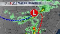
Temperatures will creep back up Saturday with highs approaching 90º ahead of a strong storm system set to move into the Midwest on Sunday. This storm system will bring a good chance for widespread rain.