

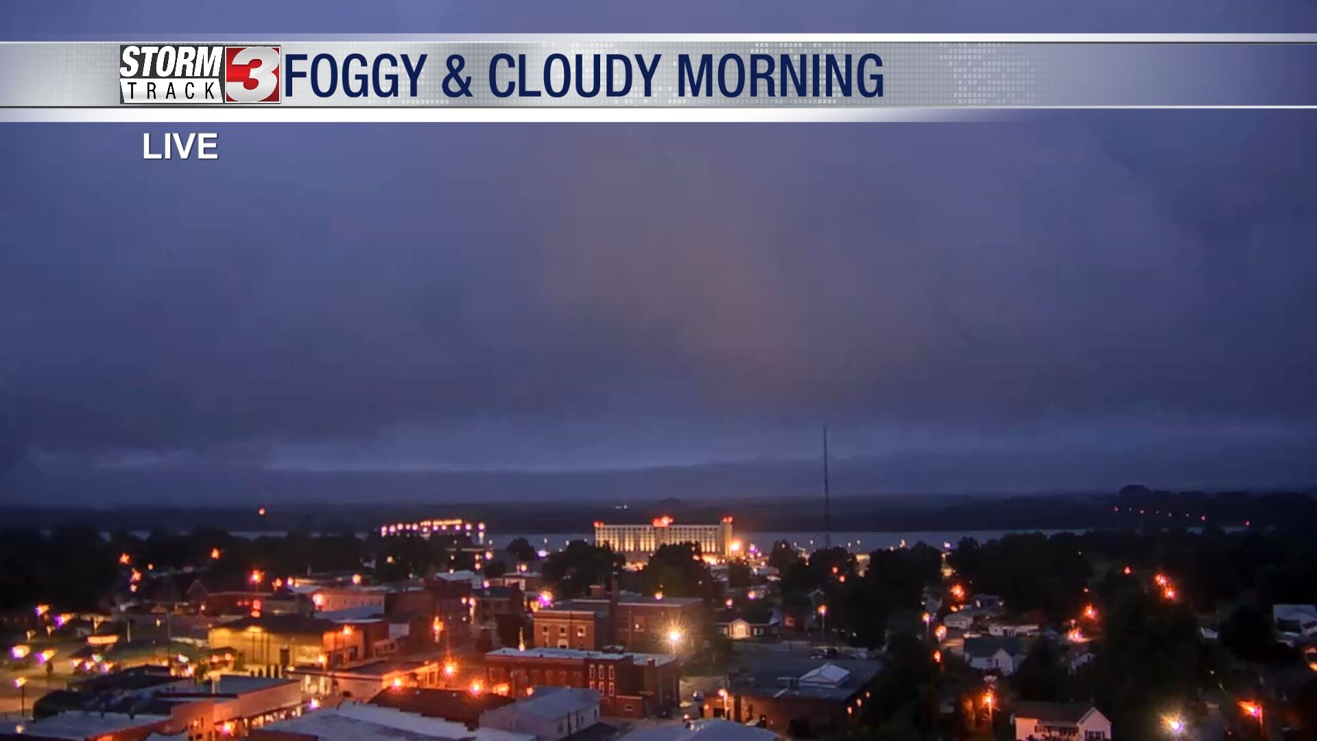
WSIL -- Watch for patchy fog this morning, especially in parts of southern Illinois and southeast Missouri.
It will take some time, but eventually sunshine will return this afternoon. The humidity will be running high this afternoon, but temperatures will remain below average with highs in the low to mid 80s.
Friday will feature a lot more sunshine, but a southwest wind will nudge the mugginess even higher and temperatures will approach 90º in some locations.
The next chance for showers and storms arrives as early as Saturday morning. Pockets of heavy rain and lightning could impact some early morning plans, but the day will not be a washout.
A few more isolated storms are possible Sunday with rain chances starting to increase late Sunday night into Monday as the next cold front approaches from the north.