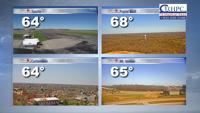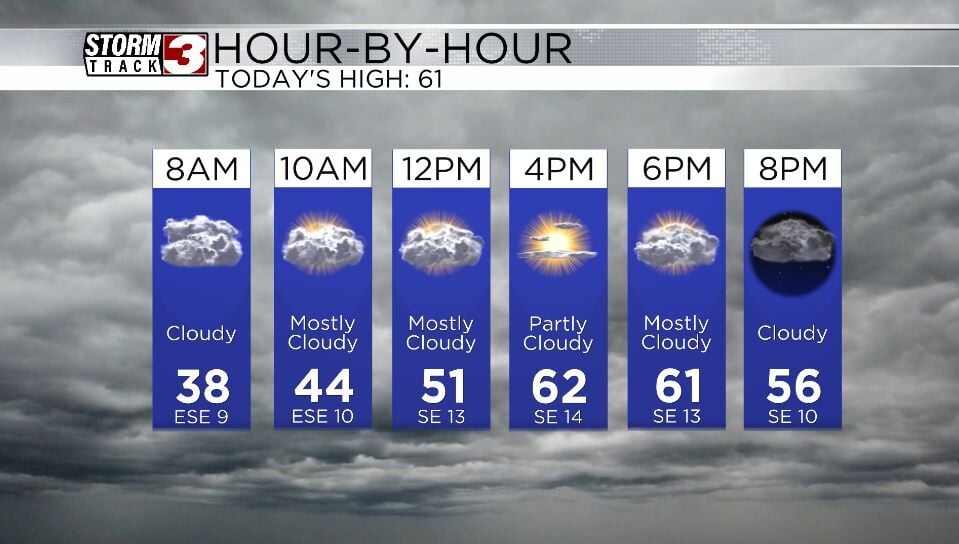
WSIL(Carterville, IL)-- This morning, a lot of us are waking up to temperatures that are in the upper 30s and lower 40s. There is quite a bit of cloud cover this morning, and cloud see a few breaks in the clouds this morning. Skies will be cloudy through most of the day.
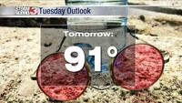
Today, you can expect to see temperatures that will warm quite a bit this afternoon, and should get into the low to mid 50s by noon, and into the low to mid 60s for afternoon highs. These warmer temperatures are due to southeasterly winds that will be sustained this afternoon at 10 to 15 miles per hour, with gusts up to 20 miles per hour.
These winds, combined with warmer weather conditions will lead to elevated fire danger this afternoon.
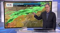
Wind gusts tomorrow will be increasing, and will be out of the southeast at 20 to 25 miles per hour with gusts that could be 40 to 50 miles per hour.
These wind gusts are associated with our next storm system. No severe weather is expected, but isolated showers and thunderstorms are possible tomorrow morning, before more widespread rain and thunderstorms move in Monday night into Tuesday.
Morning lows tomorrow will likely be in the low 50s, and highs should be in the low 60s; similar temperatures are expected for Tuesday, with rain in the morning.
The rest of the workweek looks to be dry, and mild.